
Riverbank's ZIP Code Coverage
USPS records identify 95367 as the Riverbank postal city and tie the verified facility to the Riverbank Post Office. The delivery geography is broader than a simple outline of incorporated land. A postal label routes mail through a carrier system; it does not certify that each address falls inside Riverbank's municipal boundary. County GIS and city planning maps must answer that second question.
| ZIP | Areas Covered | Post Office | Notes |
|---|---|---|---|
| 95367 | Riverbank postal city and surrounding delivery geography | Riverbank Post Office, 6501 Third Street, 209-869-0181 | Only verified Riverbank-serving ZIP; postal boundary is not the incorporated city boundary. |
The practical result is a single verified postal entry, not a made-up list of splits or extra ZIPs. Research found no additional Riverbank-serving ZIP, PO-box-only ZIP, unique ZIP, or ZIP realignment year that can be stated with confidence. Keep the coverage table narrow. If a source gives a postal city, check the parcel and city limit before describing the address as a Riverbank property.
Note: The research confirms 95367, but it does not establish an additional ZIP or split year for Riverbank.
Riverbank ZIP Code Check
The USPS Riverbank Post Office facility record is the cleanest source for the postal side of a postal lookup. It lists 6501 Third Street, Riverbank, California 95367-9998, phone 209-869-0181, retail service Monday through Friday from 8:30 a.m. to 5:00 p.m., and closed weekends. It also identifies PO Box Online and General Delivery among the listed services. Use the facility record to confirm the postal city and the office channel before treating a ZIP result as local.
The USPS facility listing supplies the source view for the Riverbank ZIP code directory image below.
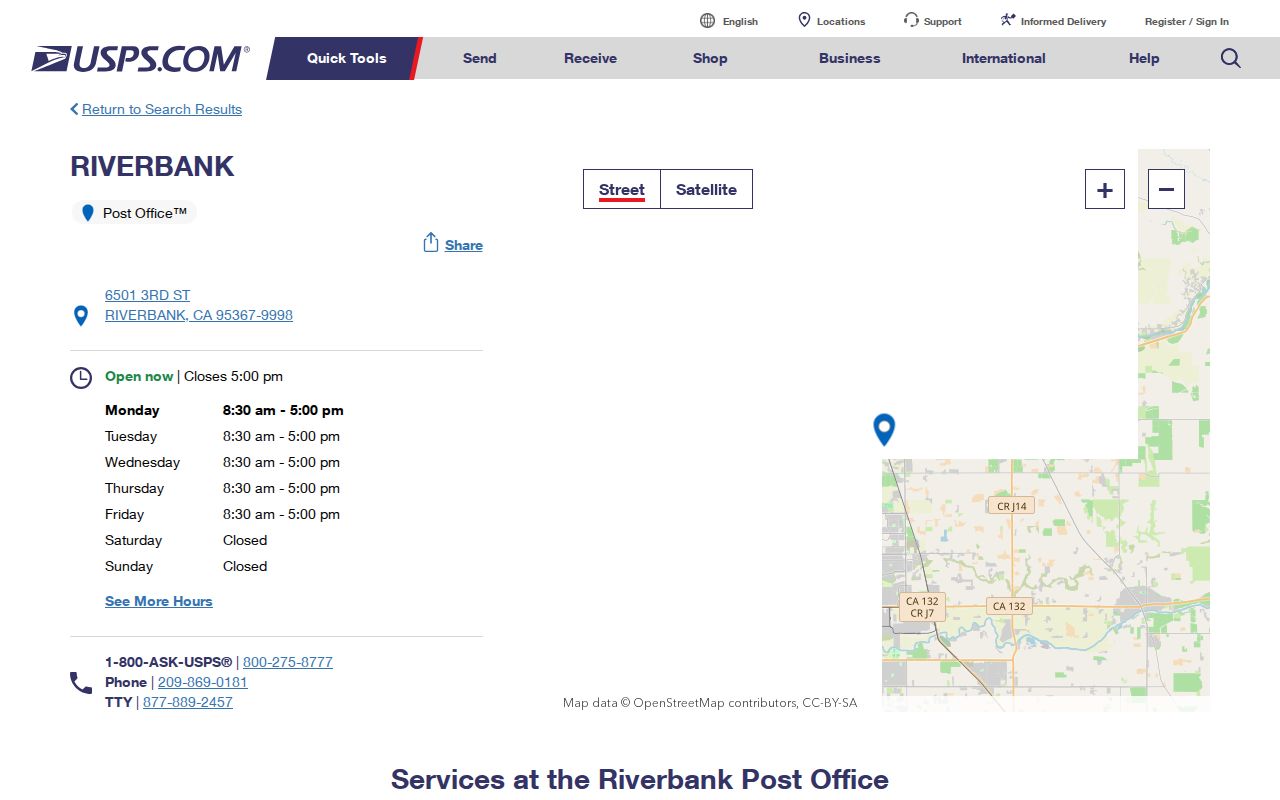
Its facility code ends in -9998, but that suffix is part of the full address code, not evidence of another community ZIP. A researcher needing a PO box or General Delivery should use the Post Office channel rather than infer a separate ZIP from the suffix.
Search Riverbank by ZIP Code
A ZIP code directory search works best as a check across systems, not as one button that lists every resident. Start with USPS to confirm the address format and postal city. Then decide whether the needed record is parcel, deed, tax, election, or municipal geography. County GIS is free for map and boundary layers, while property and voter tools impose different gates. The search path below keeps those roles distinct and avoids turning an owner record into an occupancy claim.
- Verify the mailing address and postal city through the USPS facility and address tools before treating the ZIP as a local boundary.
- Open the Stanislaus County GIS Hub, compare city limits, annexations, county islands, and parcel geometry, and record the APN for the parcel in question.
- Use the Stanislaus Assessor Public Inquiry with the known APN. Do not assume that the anonymous web route accepts a ZIP-wide owner search.
- Carry the APN or a confirmed name into RecorderWorks for recorded documents, maps, book and page, legal-description, or document-number paths.
- For voting questions, use My Voter Status only for the registered voter's own status, or follow the qualified voter-file request route when an approved statutory purpose exists.
Once a ZIP narrows the map to a street, move to the Riverbank street directory workflow for parcel-by-parcel address work. A ZIP is a starting geography; it does not replace the APN, legal description, or exact record locator. If the result is a person's own registration status, use My Voter Status rather than trying to turn a postal label into a voter list.
Riverbank ZIP Search Gates
The strongest online property route is asymmetric. Stanislaus Assessor Public Inquiry is free after its disclaimer, but the anonymous web path is APN-keyed. It returns basic assessment and property characteristics after an APN is supplied. The office at 1010 10th Street, Suite 2400, Modesto, can provide public assessment and ownership information at the counter, Monday through Friday from 8:00 a.m. to 4:30 p.m., phone 209-525-6461. The richer Agency Inquiry service adds owner name, situs or property address, and other fields, but it is a restricted paid service priced at $300 per year for up to five users and tied to an accepted agreement and business need. That is not an anonymous ZIP-wide owner search.
| Field | Role in a Riverbank ZIP search |
|---|---|
| Parcel Number or APN | Stable assessor and map identity; required for the anonymous Public Inquiry route. |
| Name | Available through the richer counter or Agency Inquiry path, not an open ZIP browse. |
| Situs or Property Address | Physical assessed location used to test a parcel against city-limit layers. |
| Mailing Address | Assessment correspondence destination; it can differ from situs and cannot prove occupancy. |
| Assessed Values and Exemptions | Property context that does not turn an assessment record into a resident list. |
| Document Numbers | Locators that can lead from a parcel record into RecorderWorks. |
Tax Collector Online Services also uses the parcel as the key. Its search form provides Roll Year, Search By, Fee Parcel, Search, and Close; Fee Parcel accepts 6 to 20 characters. That route can confirm a tax account or payment field for a known parcel, but it is not a name, street, or ZIP resident browser. GIS can add geometry, yet assessment attributes are separate from parcel geometry and the Riverbank GIS service returned an error during research. Do not promise a ZIP filter where the underlying portal does not expose one.
Note: APN, not ZIP, is the stable property key across the county's assessor, tax, and recorded-document pathways.
Riverbank ZIP Boundaries vs City Limits
USPS ZIPs and Census ZCTAs answer related but different questions. USPS assigns delivery geography for routing. A Census ZCTA approximates ZIP geography by grouping whole census blocks, so its outline can include enclaves, noncontiguous pieces, or areas that do not match a carrier boundary. A ZCTA is not a legal city line. For Riverbank, use County GIS city-limit and annexation layers, county-island data, and the city's planning maps when incorporation matters.
The Census explanation of ZCTAs is the source for the geography reference image below.
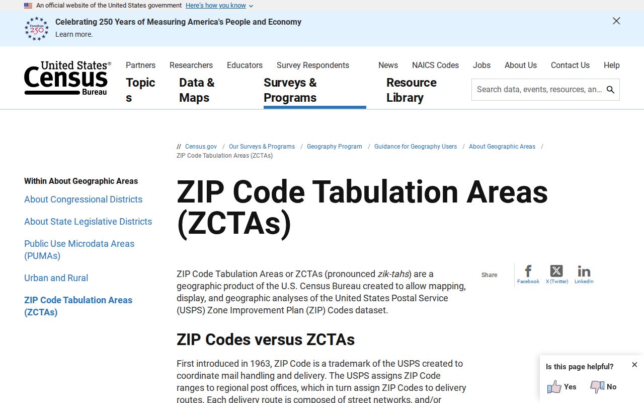
The image supports a key Riverbank postal-geography rule: a census approximation can help compare patterns, but it cannot certify a parcel's municipal status. Check the APN and boundary layer for that.
Riverbank ZIP Terms That Matter
Search errors often start when four address terms are treated as synonyms. APN, situs, mailing address, and legal description each identify a different part of the trail. The postal layer is another part. A careful directory result records which layer produced it, then carries the result into the right office.
- ZIP code
- A USPS delivery-routing label. It identifies mail geography, not an incorporated city boundary.
- ZIP+4
- A four-digit extension added to a five-digit ZIP for more precise delivery. The 95367-9998 facility code is not a separate community ZIP.
- PO-box ZIP
- A ZIP assigned for post-office-box delivery. No separate Riverbank PO-box-only ZIP was verified.
- Unique ZIP
- A ZIP assigned to a single organization or facility. No Riverbank unique ZIP was verified.
- Carrier route
- A USPS delivery route within a ZIP. It is not a public resident roster or city district.
- Situs vs mailing
- Situs is the assessed physical site; mailing is where assessment correspondence goes. They can point to different places.
RecorderWorks makes the property side more durable by accepting parcel number, map, book and page, and legal-description routes. Those keys survive a postal change better than a ZIP label. No official Riverbank street-renumbering project or address-assignment manual was found, so an older or mismatched address should be bridged with APN history, subdivision maps, and recorded corrections rather than a guessed ZIP history.
Riverbank Geography Beyond the ZIP
Riverbank's internal geography gives a useful test for postal assumptions. Historic Downtown follows a grid around Santa Fe Street, the rail corridor, and the Stanislaus River. Planning material also names Crossroads, Crossroads West, older neighborhoods, greenfield and edge areas, and the former Army plant or Industrial Complex. These are planning and place layers, not separate ZIP codes. A 95367 result should be compared with the city-limit and annexation layer before a directory entry is assigned to one of those areas.
County GIS exposes city limits, annexations, county islands, districts, transportation, and parcel geometry. The Riverbank GIS landing page is the city link, but the service returned an error during inspection and its search fields, pop-ups, buffer tools, and neighbor controls were not verified. A map link can be useful without promising a click-to-search ZIP roster. When a boundary question affects a permit, planning file, or municipal record, use the city department or a focused records request.
Riverbank Voting and ZIP Labels
Municipal voting is a separate geography. Riverbank elections are consolidated with Stanislaus County, and a city election boundary depends on residence inside the relevant city or district, not merely a Riverbank postal label. City election material may refer to the city postal ZIP code area of 95367, but that wording does not turn every delivery address into a city voter address. Check the city and county election sources for the boundary question, then use the state voter tool only for the registered voter's own status.
The Riverbank municipal elections page is the source for the election-district reference image below. It provides local election context while keeping the postal and voting layers distinct.
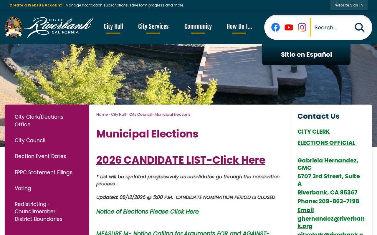
Use the image as a boundary prompt, not as a name list. The County Elections office at 1021 I Street, Suite 101, Modesto, phone 209-525-5200, is the local channel for election administration questions.
My Voter Status requires first name, last name, exact date of birth, and a California driver license or ID number or last four SSN depending on the registration credentials. It returns the voter's status, party preference, polling and election information, and vote-by-mail status. It does not allow open ZIP, street, or neighbor browsing. A qualified voter-file request can be scoped by county or other approved geography, but it requires an approved election, scholarly, journalistic, political, or governmental purpose, ID, signature, payment, and mail or hand delivery. The application does not use fax or email for submission. It states 7 to 14 business days; charges are $15 per 1,000 records up to $100, or $30 per specific voter up to $100. Use the official request route, not a ZIP label as a shortcut.
Riverbank ZIP Statistics Need Dates
Population and land figures can help explain why old ZIP descriptions drift, but they are not ZIP-specific resident counts. Census QuickFacts reports 24,865 Riverbank residents in the 2020 Census, a July 1, 2025 estimate of 26,557, 4.71 land square miles, and a 2020 density of 5,277 people per square mile. Those values describe the city as defined by the cited Census products. They do not show how many people USPS delivers to, how many parcels sit in 95367, or how many registered voters fall inside a city district.
An older Riverbank city statistics page reports 8,547 people in 1990, 15,826 in 2000, 22,678 in 2010, and 25,243 in 2021, along with an older 3.884-square-mile land figure. The dates and land-area basis differ from current QuickFacts. Keep both source dates visible. The change may reflect source date or annexation context, so do not silently merge old and new figures into a ZIP estimate.
Note: City-wide population and land figures do not supply a ZIP-specific resident count for Riverbank.
Riverbank ZIP Code Fallbacks
When a ZIP question reaches a closed door, narrow the request instead of asking for an all-resident list. For a city-limit or annexation record, the Riverbank City Clerk California Public Records Act form provides a channel for a focused request. The form identifies the requester, department, and documents requested, and accepts email, fax, mail, or counter submission. Under Government Code section 7922.535, the City makes a determination within ten days, which is not a promise that every record will be delivered then. Paper copies are $0.10 per page and DVDs are $0.75 under the cited city form. Ask for a date range, map or APN, record series, and department.
For parcel evidence, request the assessor entry at the counter, use the APN in RecorderWorks, and use the county Tax Collector search only for the known fee parcel. For deeds or maps, the Clerk-Recorder official-record copy form can be submitted with a document number, book and page, party, date, copy type, return address, and payment through the methods stated on the current form. The Modesto Clerk-Recorder is at 1021 I Street, Suite 101, phone 209-525-5250, Monday through Friday from 8:00 a.m. to 4:00 p.m. If an online image is missing, the office terminal, book and page, microfilm, or fiche may be the next channel. The online index says 1850 through the current posting date, but that statement does not promise free images for every year.
Some questions have no additional ZIP answer. Research found no verified Riverbank ZIP split year, extra postal ZIP, or public ZIP-wide owner search. The accurate ZIP fallback is a documented chain: USPS for delivery, GIS for boundary, Assessor for APN-keyed parcel evidence, RecorderWorks for recorded instruments, and Elections only through personal or qualified statutory access. Public records are for lawful research. Do not use a ZIP, owner record, or voter information to stalk, harass, or harm a person.